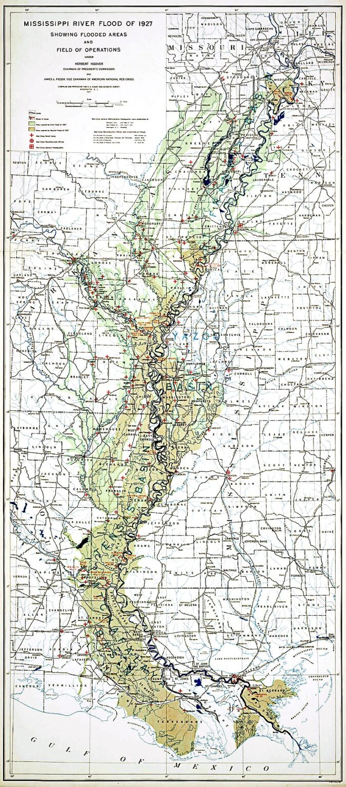
US Corps of Engineers Map of the 1927 Mississippi River. The 1927 flood was the background cause of the call to “Blow the Levee” below New Orleans in August 1927.
The flood area covered 27,000 square miles and inundundated some areas with as much as 30 feet of water. It affected over 700,000 people, mostly on Louisiana, Arkansas and Mississippi. It last from the summer of 1926 until August 1927. City fathers of New Orleans called for the Blowing of the Levee below the City to hopefully prevent its flooding. But near simultaneous up-river levee failures and ongoing diversion of the river water through the Atchafalaya River Basin deemed the cutting of the levee as unnecessary.